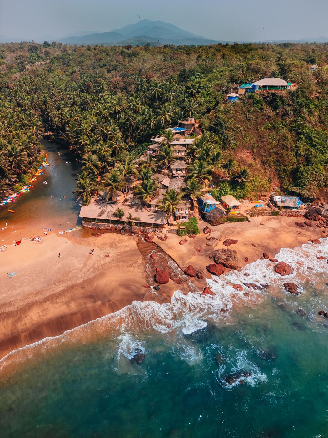
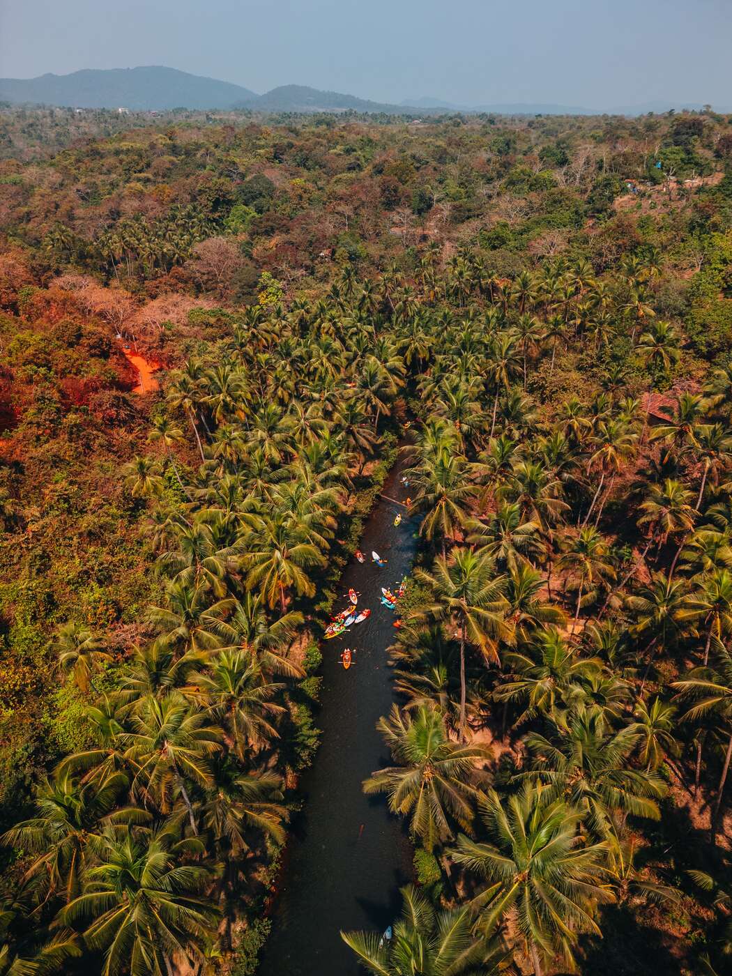
Aerial view of palm forest and a river inland in Goa

Home › Land & Plot Drone Surveys

Land & due diligence

See the plot before you get on a plane.

High resolution aerial imagery of land parcels and plots across Goa: boundaries, access, slope and distance to the sea, shown in context for buyers, sellers and agents.

DGCA licensedCertified remote pilot
4K & 50MP10-bit D-Log M, graded
Permissions handledDigital Sky airspace checks
All of GoaPanaji to Palolem

Most people buying land in Goa are not in Goa. They are working from a listing with two ground level photographs, a location pin that may be approximate, and an agent's description of the access road. An aerial set replaces all of that with something you can read yourself: the shape of the parcel, what adjoins it, where the road meets it and how far the sea actually is.

What this is, and what it is not

This is marketing photography and visual documentation, not a legal survey. We produce high resolution aerial imagery showing boundaries, access and context as they appear on the ground. We do not produce certified measurements, cadastral plans, title verification, or data intended for a court, a bank or a planning submission. Those need a licensed land surveyor and a lawyer; the imagery sits alongside their work rather than in place of it.

What the imagery answers

Where the corners fall against fixed landmarks such as walls, treelines and neighbouring structures. How the access road arrives, how wide it is, and whether a vehicle can reach the plot at all. The slope and the drainage of the ground, which a photograph taken standing on it hides completely. And how far the beach, the river and the nearest main road really are, shown in one frame instead of described in a sentence.

Before you buy, and while you build

For a buyer who is not in the country we shoot to a written brief and deliver within a few working days, so a decision is not held up waiting for a trip. For an owner building on the land, repeat flights from recorded positions give a dated visual record: useful for checking work you cannot visit, and for the file once the build is finished. Priority turnaround of roughly 48 hours is available when a deadline is fixed.
What you get

Every land and plot shoot includes

  • High resolution aerial stills of the full parcel
  • Clean top down frames for boundary overlays
  • Corners framed against fixed landmarks
  • Access road, width and approach in frame
  • Elevation shots showing slope and drainage
  • Sea, river and road distances visible in one frame
  • Short video pass over the plot and its surroundings
  • Context frames showing what adjoins the land
  • 4K 10-bit delivery, colour graded
  • Vertical cuts for listings and WhatsApp enquiries
  • Repeat flights for build progress
  • Priority turnaround of roughly 48 hours on request
The locations we fly

Where this work happens

Aerial view of palm forest and a river inland in Goa
Palm canopy and river · Goa
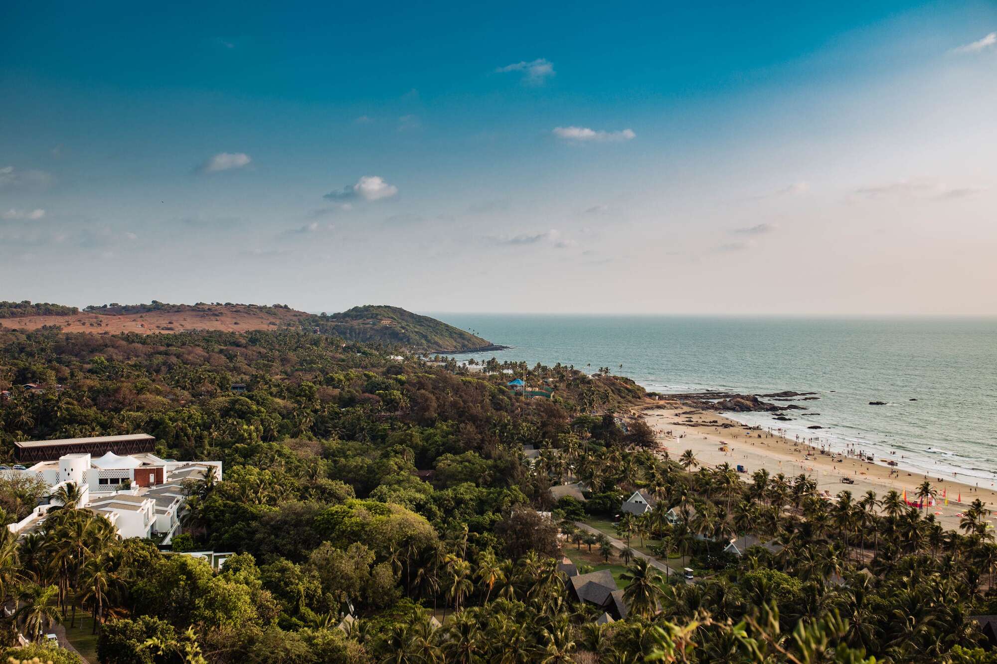
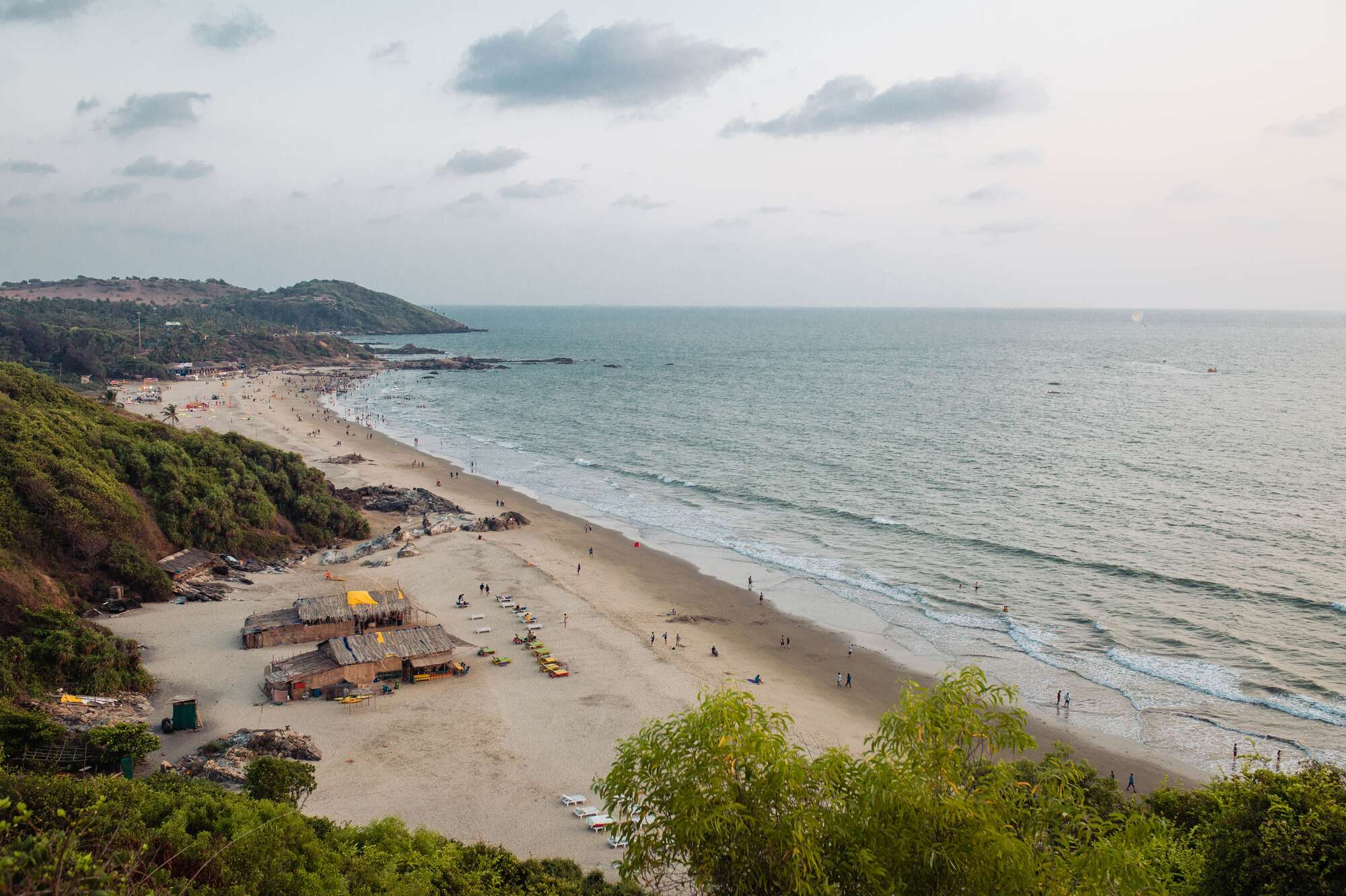
Aerial view of the beach and headland at Chapora, North Goa
Beach and headland · Chapora
Aerial view of the coastline and palm canopy at Mandrem, North Goa
Coastline · Mandrem
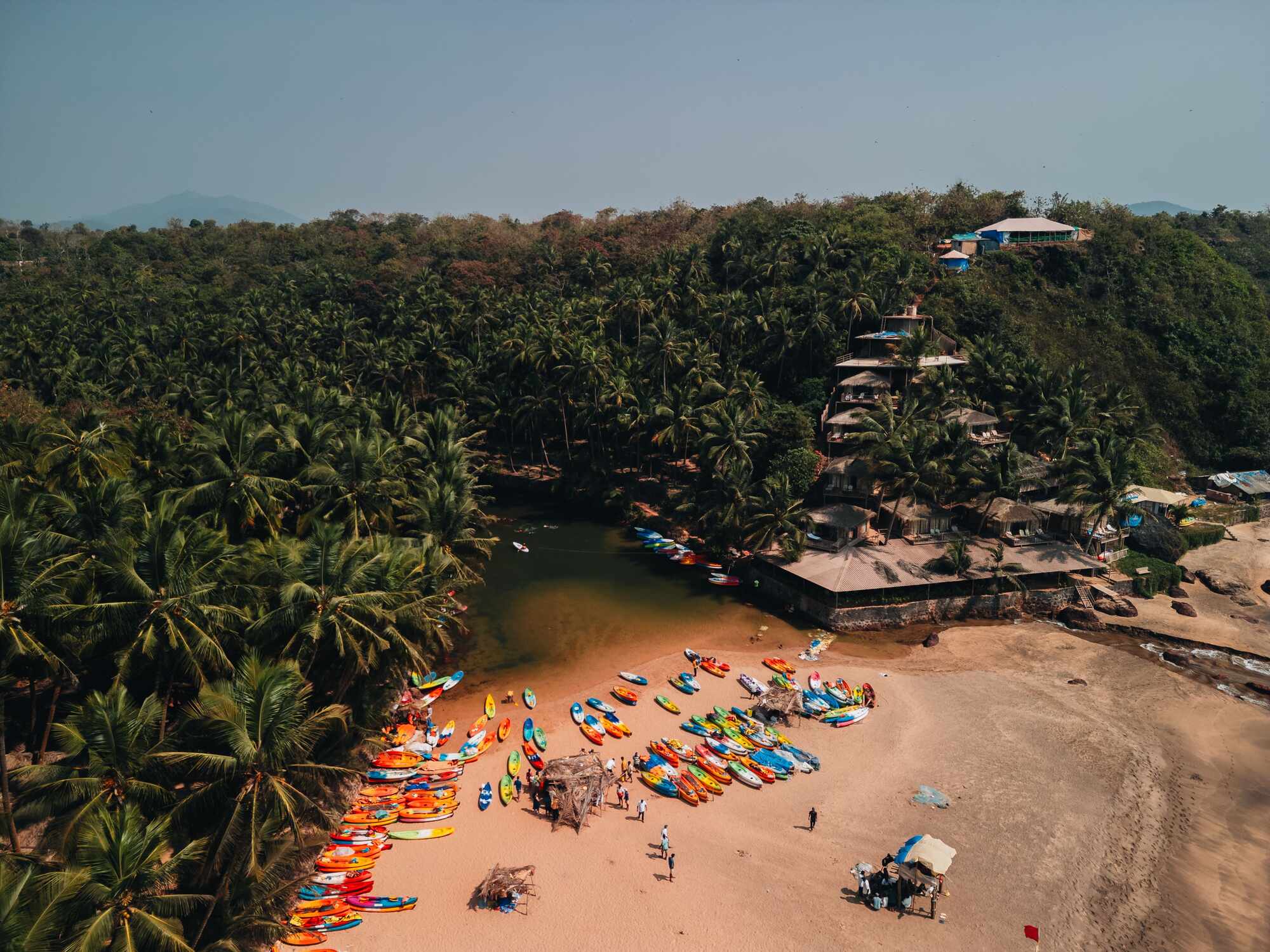
Aerial view of kayaks drawn up on the sand on a Goa beach
Kayaks on the water · Goa
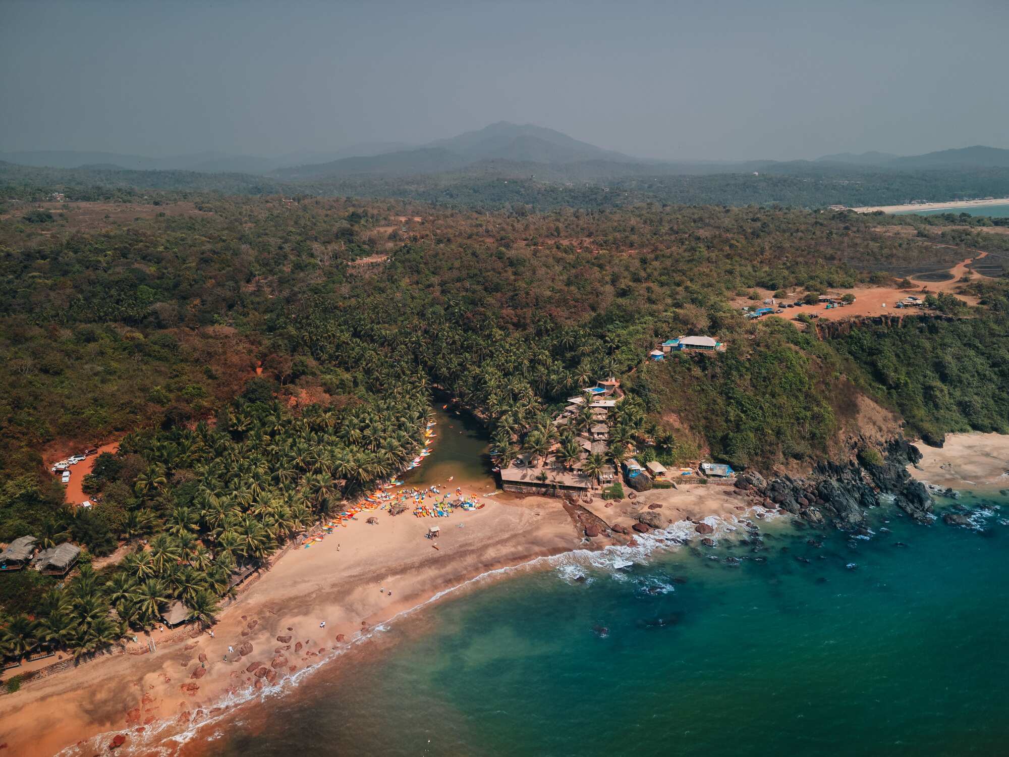
Aerial view of a quiet stretch of beach on the Goa coastline
Quiet stretch of coast · Goa
Aerial view of beach shacks and surf on the Goa coastline
Beach and treeline · Goa

Reference aerials of the Goa coastline. Client work is shown on request and is not published without permission.

Questions

Before you book

Is this a legal survey of the plot?

No, and it is worth being plain about it. This is aerial photography: high resolution imagery showing the boundaries, the access and the surroundings as they exist on the ground. It carries no certified measurements, it is not a cadastral survey, and it does not verify title or ownership. For a legally recognised plan you need a licensed land surveyor, and for the title you need a lawyer; the imagery is normally used alongside both, to show a buyer what the paperwork is describing.

I am abroad and cannot visit. Can you shoot a plot I am considering?

That is most of this work. Send the location, a plan or a pin, and the specific things you want answered, such as whether a car can reach the plot or how overlooked it is. You get stills plus a short video pass covering the parcel, its access and what adjoins it, usually within a few working days. It is not a substitute for a site visit or for legal diligence, but it tells you whether the trip is worth booking.

Can you show the boundaries if I send the survey plan?

Yes, within the limits above. Mark the corners, or walk them with us, and we frame the elevation and top down shots so each corner sits against something fixed: a wall, a treeline, a neighbouring roof. We can also supply a clean top down frame that your designer or surveyor can overlay the plan onto. That overlay is an illustration for a brochure or a buyer, not a measurement.

Do you need permission to fly over land in Goa, and who gets it?

We handle it. The remote pilot is DGCA licensed, the aircraft is registered, and we run a Digital Sky airspace check against the plot coordinates before quoting. Some parcels sit in restricted airspace near Dabolim or naval land, and others in yellow zones that need clearance first. If a plot cannot be flown legally we say so at the quote stage rather than after you have paid.

What if the weather is poor, and is there a better season for this?

We reschedule rather than fly in wind or rain, because the footage comes back unusable and rescheduling for weather carries no extra charge. October to March gives the clearest air and the best light. Through the monsoon, June to September, we hold a reserve date and watch the forecast. One thing worth knowing either way: heavy monsoon growth hides boundaries and ground contour, so if the imagery is for diligence rather than for a listing, the dry months show you more.

What does a land or plot shoot cost in Goa?

It depends on the size of the parcel, where it is and how far the travel is, whether you want video as well as stills, how many plots are covered in one trip, and whether the airspace needs clearance. Send the dates and the location and you will have a firm quote the same day.

Get in touch

Send the date and the venue.

That's all we need to quote. Every shoot is priced on location, hours and deliverables — you'll have a firm number the same day, not an estimate that moves later.

Get a quote